


LA MOTTE DU CAIRE .Le tour de la Blachere o

RobinMicheline
User GUIDE

Length
37 km

Max alt
1332 m

Uphill gradient
2199 m
Km-Effort
67 km

Min alt
433 m

Downhill gradient
2414 m
Boucle
No
Creation date :
2020-05-09 06:50:59.722
Updated on :
2020-07-16 14:34:20.125
4h00
Difficulty : Difficult

FREE GPS app for hiking
 SityTrail
IGN / Geographical institutes
SityTrail Plus
The world is yours!
About
Trail Walking of 37 km to be discovered at Provence-Alpes-Côte d'Azur, Alpes-de-Haute-Provence, La Motte-du-Caire. This trail is proposed by RobinMicheline.
Description
agreable
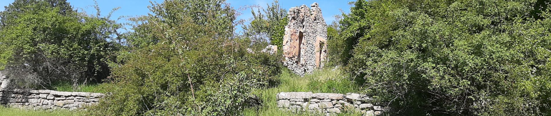
Photos


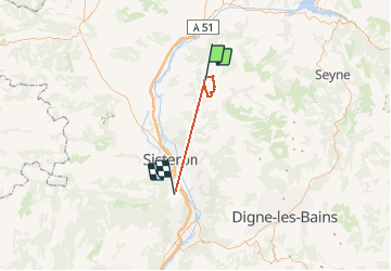
Positioning
Country:
France
Region :
Provence-Alpes-Côte d'Azur
Department/Province :
Alpes-de-Haute-Provence
Municipality :
La Motte-du-Caire
Location:
Unknown
Start:(Dec)
Start:(UTM)
263537 ; 4914161 (32T) N.
Comments